The End of the Roman Empire and the Beginning of the Byzantine Empire
By the end of this assignment, I will be able to:
- Identify the location of the Byzantine Empire and Constantinople.
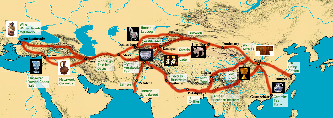
- Explain how the Byzantine Empire grew as a commercial and cultural center along trade routes.
Mapping the Byzantine Empire
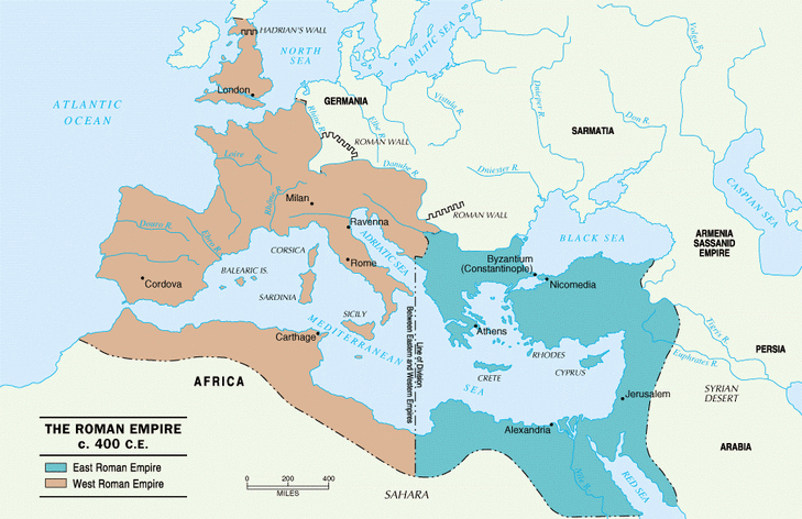
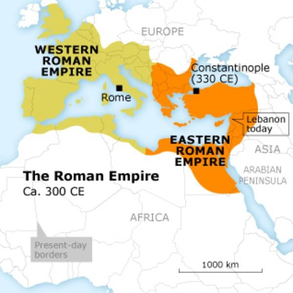
Directions: Use the multiple maps and step by step directions below to complete your map. This map will show the split of the eastern and western Roman Empire, where the Byzantine Empire was located and the major waterways, cities & trade routes important to it. Click on the picture to see it enlarged.
|
Step 1 -
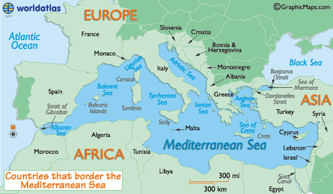
Label the following bodies of water: 1. Mediterranean Sea 2. Black Sea 3. Aegean Sea 4. Bosporus Strait 5. Atlantic Ocean Label the following continents: (YOU SHOULD KNOW THESE) - 6. Europe 7. (Northern) Africa 8. Asia Step 2 - Label the following cities: 1. Rome 2. Constantinople Step 3 - Follow the coloring instructions below:
Step 5 -
Step 6 -
|
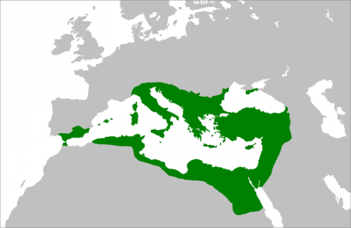
Area controlled by the Emperor Justinian.
|
Map Analysis Questions
- How did location and trade impact the Byzantine Empire?
- Compare the relative size and location of the Roman Empire and the Byzantine Empire controlled by Justinian. Which is larger? What important geographic features does each control?
